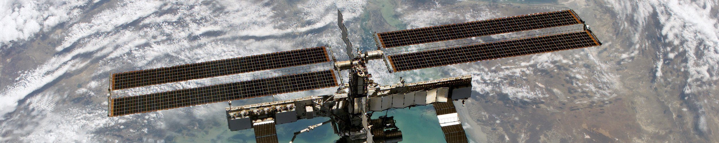
The growth of satellite remote sensing since the 1960s revolutionized earth system studies, providing previously unimaginable global-scale observations. This stunning increase in observations has led to many advances including accurate numerical weather prediction, tracking of the polar ozone holes, and quantification of the rise of global sea level and the melting of the Greenland ice sheet. The earliest satellites in the 1960s and early 1970s only measured upwelling earth radiation in coarsely resolved spectral bands. Successive generations with improved stability, sensitivity, and spectral resolution have produced increasingly detailed information about the physical and chemical properties of the atmosphere. Active RADAR and LIDAR satellites have added additional capabilities to track a variety of hydrologic processes as well as the land and ocean surface. The revolution in remote sensing continues with innovations such as the Cyclone Global Navigation Satellite System (CYGNSS) computer tomography of the atmosphere, and the Gravity Recovery and Climate Experiment missions tracking time-dependent shifts in mass.
Here at the Department of Atmospheric and Oceanic Science we maintain diverse and extensive remote sensing research programs in collaboration with our colleagues at ESSIC as well as the neighboring NOAA National Environmental Satellite, Data, and Information Service ( NESDIS), NASA Goddard Space Flight Center, and Johns Hopkins University Applied Physics Laboratory. At the national and international level faculty are also involved in planning for future sensors and sensor requirements through programs including the World Climate Research Programme projects CLIVAR and GEWEX, Future Earth and the IAMAS International Commission on Atmospheric Chemistry and Global Pollution (iCACGP). Incoming students will thus have opportunities to work with world class experts from the University and government labs on cutting-edge research in the area of satellite remote sensing.
Research Areas
Atmosphere
- Stratospheric and Tropospheric Ozone (Salawitch)
- Atmospheric Carbon and Surface Flux (Murtugudde)
Oceans
Ice
- Sea Ice Thickness (Farrell)
Land
Advising
Advising Faculty
- Berbery
- Carton
- Farrell
- Li
- Salawitch
- Zeng
Non-Advising Faculty
- Adler
- Arkin
- Ferarro
- Harris (NOAA)
- Grodsky
- Jin
- Kim
- Leuliette (NOAA)
- Murtugudde
- Pinker
- Smith (NOAA)
- Thompson
- Warner
- Wei